Paddle Boarding Island Molat in Croatia
- Written by Marko Mrše
- Published in Travel
- Comments::DISQUS_COMMENTS
 Photo Courtesy: Marko Mrše
What happens when you take centuries of Croatian, Italian and Venitian culture, sparkle a bit of Ottoman influence (Turkish); spread it out on dozens of carbonate islands; simmer it on warm Adriatic climate with crystal clear turquoise sea; lock it away during the Cold War period (until today) and then go paddling there? A paddling ground that is about nature as much as it is about culture and history.
Highlights
In this destination report, we focus on the area around historic town Zadar right in the middle of the Adriatic coastline. The archipelago has more than 100 islands worth exploring, with towns and villages dating back to 14th and 15th century.
 |
 |
Photos Courtesy: Marko Mrše
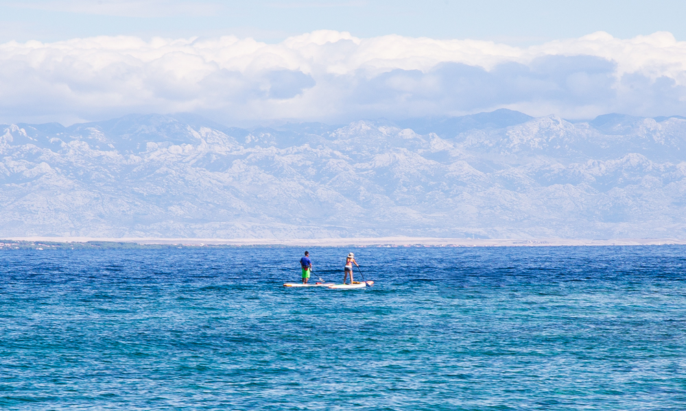
Traditionally, islands in Zadar archipelago have been functioning as neighborhoods for decades. Elders of the village Molat still talk of times before the first World War when they would get on the sail-powered boats and hop over to nearby island Zverinac (10km away) to help their friends and relatives there with their olive harvest, or go to village Brgulje (2km away) for their annual fiesta.
Today, SUPs and kayaks enable us to revive this tradition of moving in this dense archipelago. In absence of water taxis or commercial transport, island hopping is only possible with your own power. Stand up paddle boarding here is a function as much as it is a pleasure.
The inhabited islands:
Island Molat
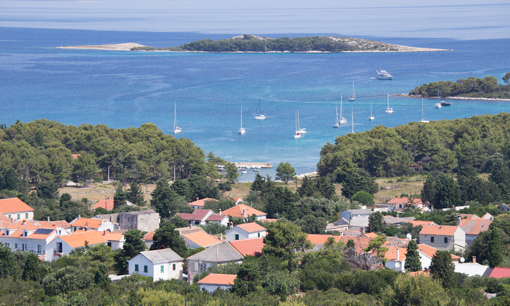
This island with 22sqkm (8,81sqm) with a population of 200, scattered over 3 villages, was a military base from the Cold War until the 1990s. As a result, it has remained outside the tourism radar and Molat's archipelago today hides some of the most interesting military infrastructures. Some you can paddle into, others you explore by foot. The name of the island comes from Greek Mel (honey) and Mellitus (sweet as honey). Today you can try organic honey from a few local small-scale producers.
 |
 |
Island Molat | Photo Courtesy: Marko Mrše
Dugi Otok (it means long island in Croatian)
To the west and the open sea, is 60km long island Dugi Otok. Its northern shoreline is home to a number of small villages, a lagoon, a natural cave, and shipwreck. A return paddle from Molat and back is around 20k and makes for a very rewarding day expedition.
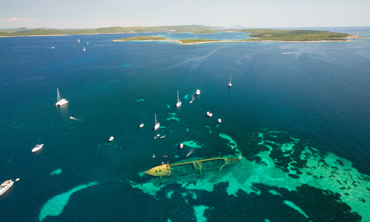 An aerial view of a shipwreck just outside from Dugi Otok. | Photo: Shutterstock
Island Ist /iːst/
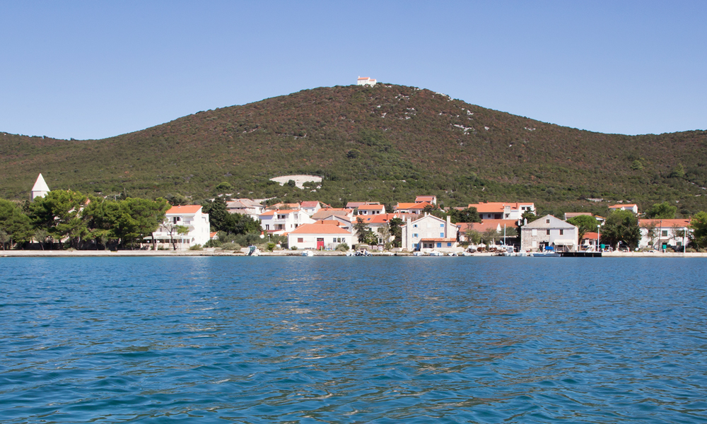
To the north from Molat, this island spreads over 9,7sqm and with a population of 60. Town Ist is located on a big sandy beach, popular with maritime tourism. Island Ist is divided by island Molat with a 150m long and 6m deep strait. It's the ultimate place to claim your first island crossing. :) Just above the town, there is the highest hill in this archipelago. On top, there is an 18th-century chapel called Snow Lady. The walk is a locally famous pilgrimage route.
 |
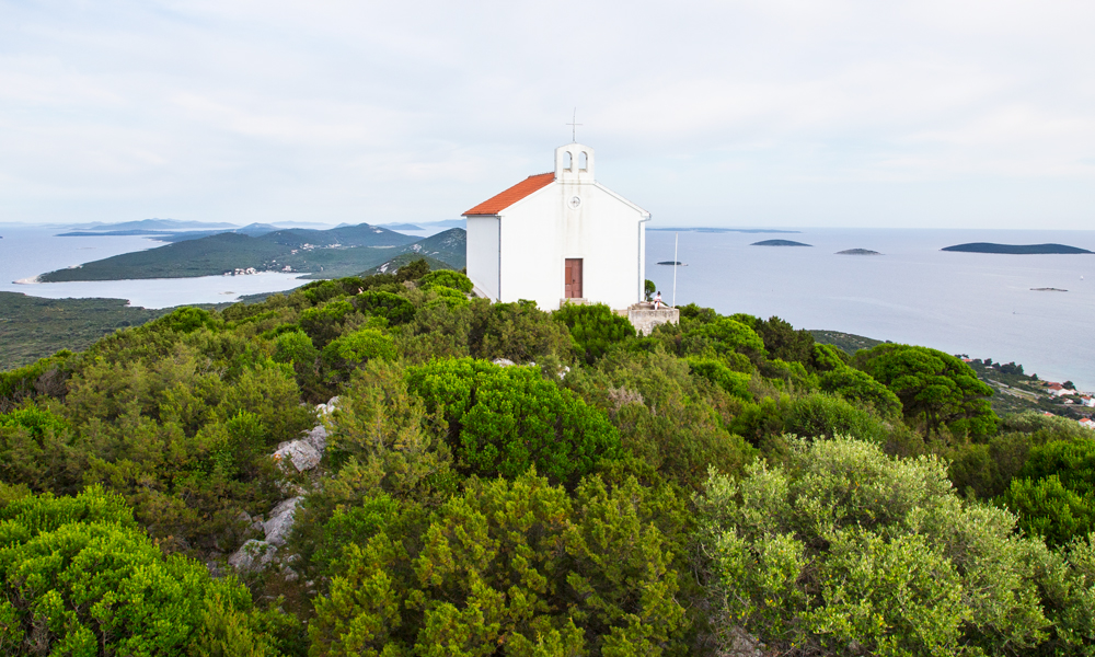 |
Island Ist | Photos Courtesy: Marko Mrše
Island Zverinac /z'verynice/
To the south from Molat, this island spreads on 4,8sqkm and has 13 permanent inhabitants. Most of the island is covered with meticulously maintained olive fields that make for an exciting walk to its hilltop. It’s a 10k paddle away from Molat.
 |
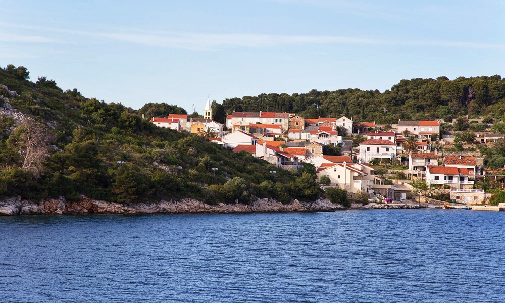 |
Island Zverinac | Photos Courtesy: Marko Mrše
Hot Spots
Here are a few of paddle boarding hot spots in the area.
1. Submarine caves
Paddling along northern shores of Dugi Otok is a scenic route with small coves and pebblestone beaches. It ends with a well-hidden submarine cave built on the island in the Cold War period. It has an eerie feel to it as you paddle under a 15m high arch. It has been intact ever since. Just on the other side of the cave is Zverinac island, a natural continuation of this paddling trip.
 Submarine Cave | Photo Courtesy: Marko Mrše
2. Circumnavigation of Molat's southern coast
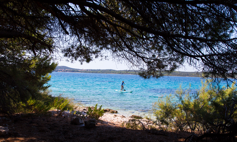
Circumnavigating the southern coast of island Molat is an 8k paddle that moves through a number of shallow bays, pine tree covered coves and a small sandy beach, located just halfway through the trip. The beach with its ankle deep sandy water is also a perfect place to try a popular and fund Croatian ball game – picigin.
 |
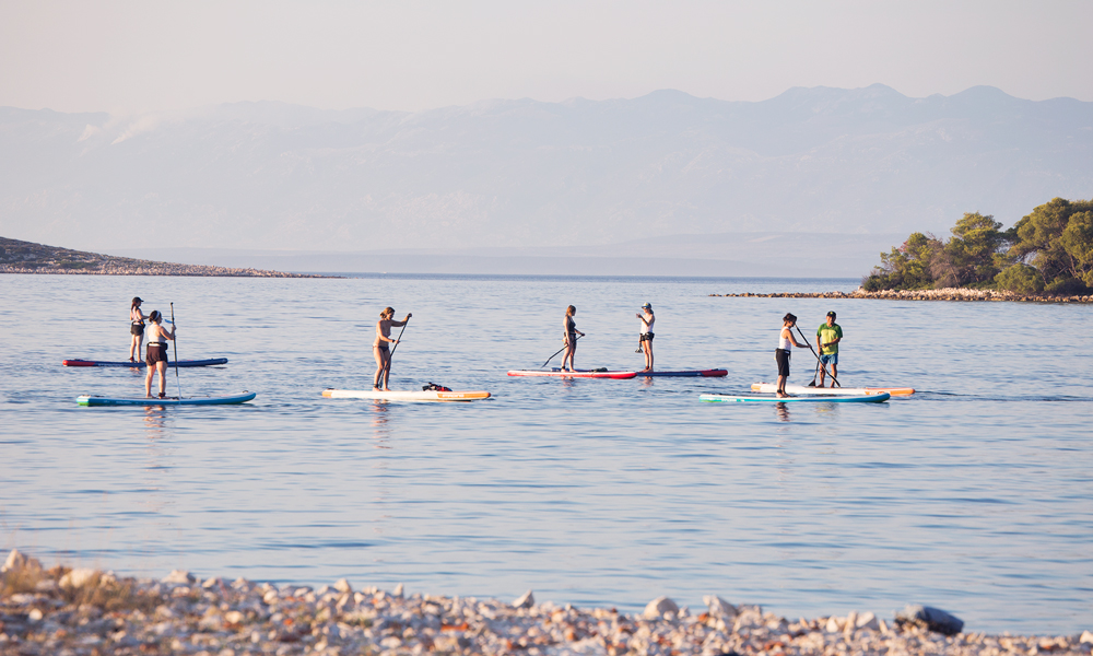 |
Southern coast of Island Molat. | Photos Courtesy: Marko Mrše
3. Brgulje bay
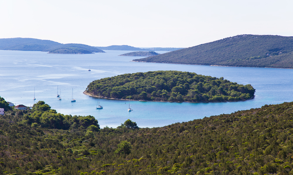
Island Molat is shaped like a Greek letter lambda (or upside down V if that's more visual). The inside of the 'letter' forms Brgulje bay with a perfect round island in the middle, just next to picturesque fishing village Brgulje. It is the preferred route when looking for protection from the Northern winds. It makes for a relaxed lake-like paddle with shallow turquoise waters and views of surrounding rolling hills.
 |
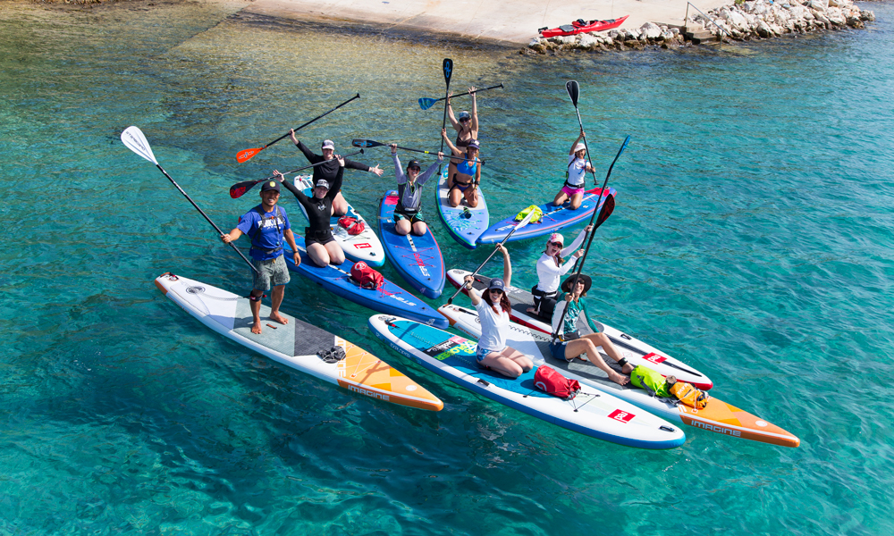 |
Brgulje bay | Photos Courtesy: Marko Mrše
4. Brščak
Paddling west towards the open sea, paddling route meanders between small uninhabited islands. As you move through straits and island crossings, you stop by some dynamics seabed (best-explored snorkeling), spot an occasional octopus or shoals of different fish (depending on the season). There is also a few cliffs, several rocky beaches, an area with fossils and a small pebble stone beach.
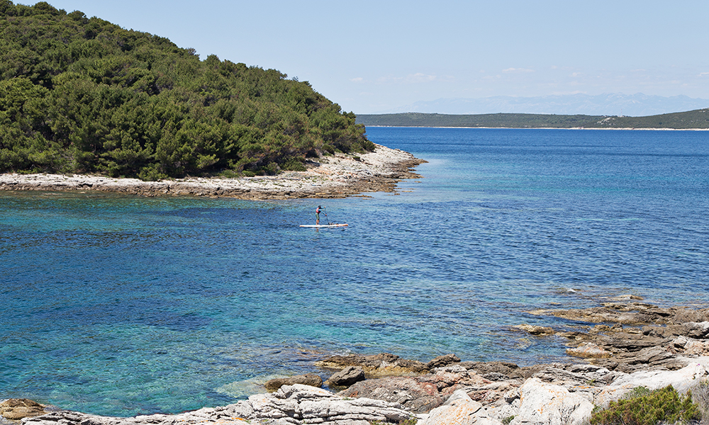 Brščak. | Photo Courtesy: Marko Mrše
5. Tramerka island and Roman Quarry
Further out to the north-west there is a number of uninhabited islands, stone stacks, and reefs. One of them have been a Roman query which is visible by the clearly cut out rocks. Paddling out there is best in the morning so you catch an evening Maestral in the back on your way south.
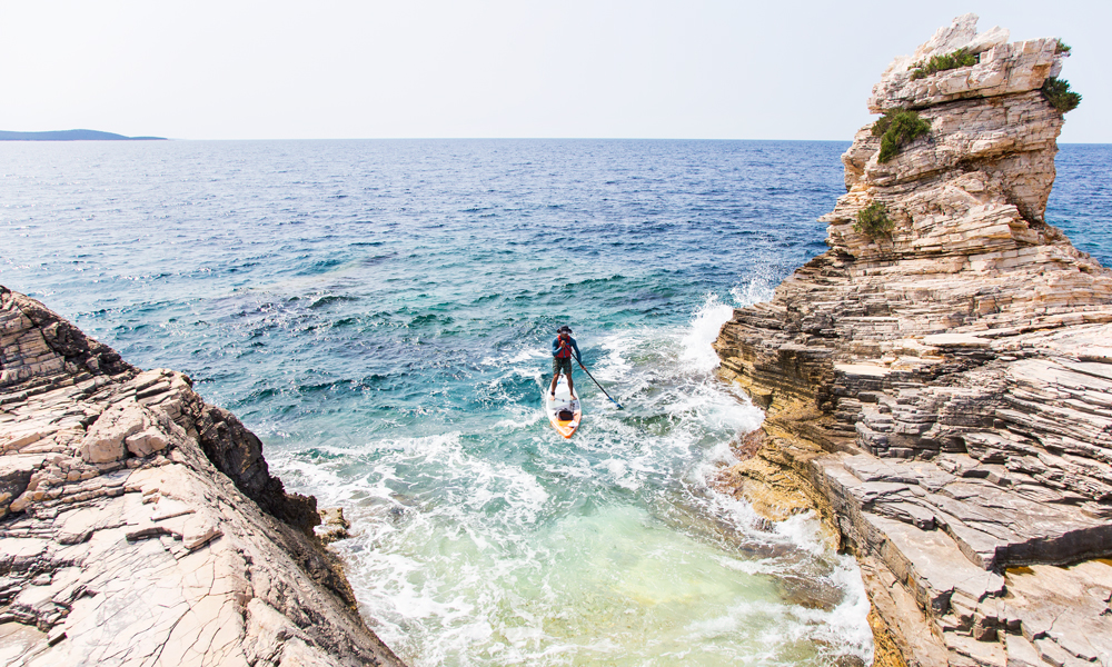 Tramerka Island | Photo Courtesy: Marko Mrše
Need to know
The Tides
Tides in Croatia are up to 0,3m April to October. In winter months, tides can be up to 1m. Note that some straits and micro-locations may have tides running up to 3 knots per hour.
The Trip
If you would like to explore this archipelago, take at least 4-5 days, but ideally 7 days. It allows for plenty of paddling time, time for exploring the land by foot or by bike and buffer time in case of short storms. A star itinerary based on island Molat and then venturing to different places each day is the most efficient and rewarding way to see and get a feel for the area.
The Airport
Best airport to fly into is Zadar (20 minutes from the Old Town), Split (2h from the Zadar Old Town) or Zagreb (3,5h from the Zadar Old Town). Island Molat is conveniently connected to Zadar by a public ferryboat that departs from Zadar's Old Town and runs daily.
Seasons
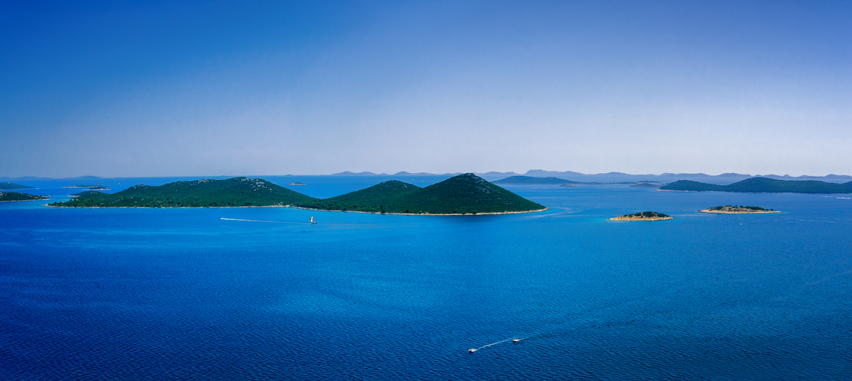 Amazing Kornati archipelago of Croatia. Northern part of Dalmatia. Sunny detail of Stomorski islands. Beautiful summer seascape with clear water from Zadar to Sibenik. | Photo: Shutterstock
Best time for paddling in Zadar archipelago is May, June, and September. In this period, average air temperature is 24-30º C, the sea temperature is around 22º C and winds are up to 8knots.
July and August are the peak tourism periods in Croatia. Temperatures are around 35º C, the sea is around 23º C, the sea state is even calmer but expects higher amounts of boat traffic at sea.
April and October are great for more experienced paddlers that can handle winds up to 12 knots and don't mind slightly higher likelihood of rain.
Useful Links
About Malik Adventures
Malik Adventures offers small group adventure trips to local communities in little-developed tourism destinations in Croatia. Their main base is on island Molat where stand up paddle boards are used as a mean of reaching people and places that are hard to get to. All accommodation and services offer outstanding standard and are provided by local families. By joining our trip you directly contribute to local families and their economies.
© Supconnect.com Copyrighted Exclusive Content

Marko Mrše
Marko is a kayaker, windsurfer, freediver, rock climber and ski tourer. He founded Malik Adventures in 2012 in order to enable travelers to go off the beaten path, improve their skills and move their limits on their way. He does so by offering Canoeing Ireland certified paddle sports courses, Yoga Alliance courses and small group tailor-made itineraries to remote islands in Croatia.
Website: www.malikadventures.com Email This email address is being protected from spambots. You need JavaScript enabled to view it.


